
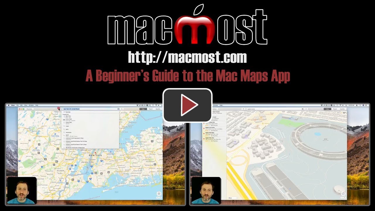
The Maps app is a handy way to find a location, get directions, or view satellite imagery on your Mac. You can see traffic conditions and look at a 3D view of buildings and terrain. This can be a tool for finding places or getting directions, or an educational or exploratory tool for learning more about the world.
▶ You can also watch this video at YouTube.
▶
▶ Watch more videos about related subjects: Beginner's Guides (38 videos), Maps (14 videos).
▶
▶ Watch more videos about related subjects: Beginner's Guides (38 videos), Maps (14 videos).
I found the lesson very useful. I understand using the maps much better. Thank you:-)
One of the fun things about Apple Maps is the Fly Over Tour on several large cities. Try London, England and click on the "I" in a circle and then choose Flyover Tour.
Great introductory Mac presentation. I would love to have you expand the subject matter. There's so much to learn to become efficient in using the Maps App. Thanks, Jeff